

 Reply With Quote
We haven't been up there since June 2005 when we rode it with Yellow, SK and Bubba. It's a beautiful ride. Pics from our day are here. We had to stop for snow.
Veronica
Welcome guest, is this your first visit? Click the "Create Account" button now to join.

Results 1 to 3 of 3
-
09-05-2011, 06:05 AM #1
 Registered User
- Join Date
- Feb 2011
- Posts
- 328
High-definition suffering & mountain scenery (pics too)
To disable ads, please log-in.
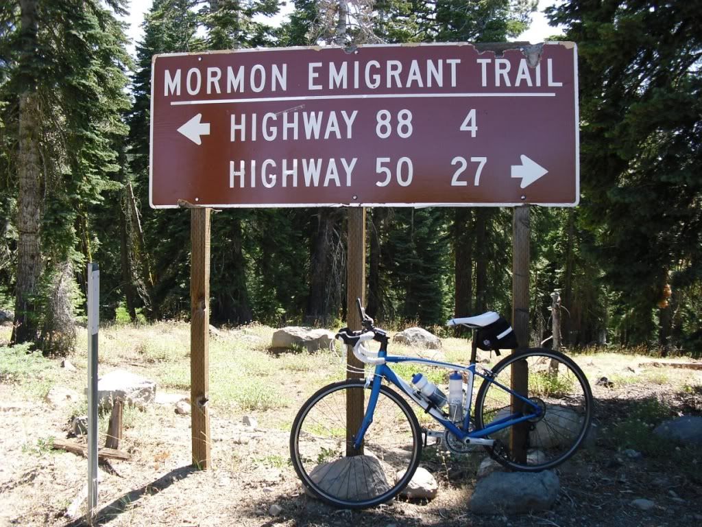
Yesterday I climbed Silver Fork Road from Kyburz to the end of the road at Mormon Emigrant Trail (Iron Mountain Road). This is in the mountains in El Dorado County. This is another one of those rides where I really wish I had my ContourHD helmet camera to show people the scenery and the superior picture quality (compared to my other cameras).
I had to settle for the handlebar-mounted Playsport. The replacement ContourHD should be here Tuesday. In an attempt to at least come close to the picture quality of the Contour, I recorded this in high-definition (720p 60 fps). I also rendered the video with the same settings as the original raw files, so there's minimal loss of quality. The 60 fps frame rate got rid of most of the wavy rolling shutter effect.
Riding through dense forest messed with the Garmin so much that I didn't bother with the data overlay. Speed and percent grade readings were wildly inaccurate.
Garmin Connect data: http://connect.garmin.com/activity/111985634
Since the Playsport has a more sensitive microphone than the Contour, there are more suffer sounds, so be forewarned!
http://www.youtube.com/watch?v=esNZxZz53wc
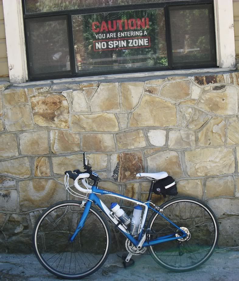
This sign should be at the start of the steep 1.2 mile climb you are greeted with after crossing the bridge near Highway 50.
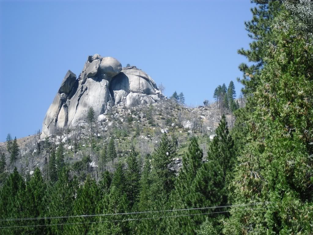
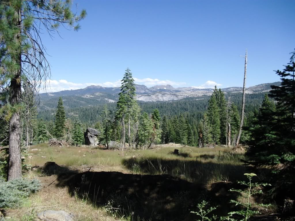
Rock formation visible from Highway 50
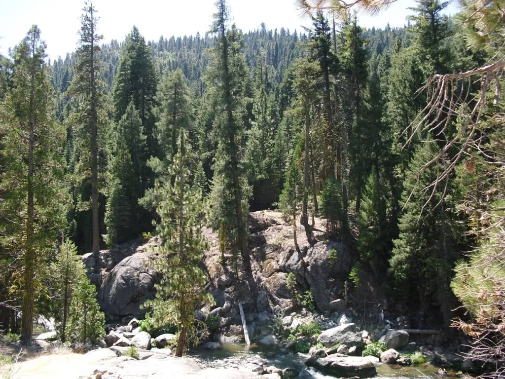
It looks like the trees are growing out of the rocks here.
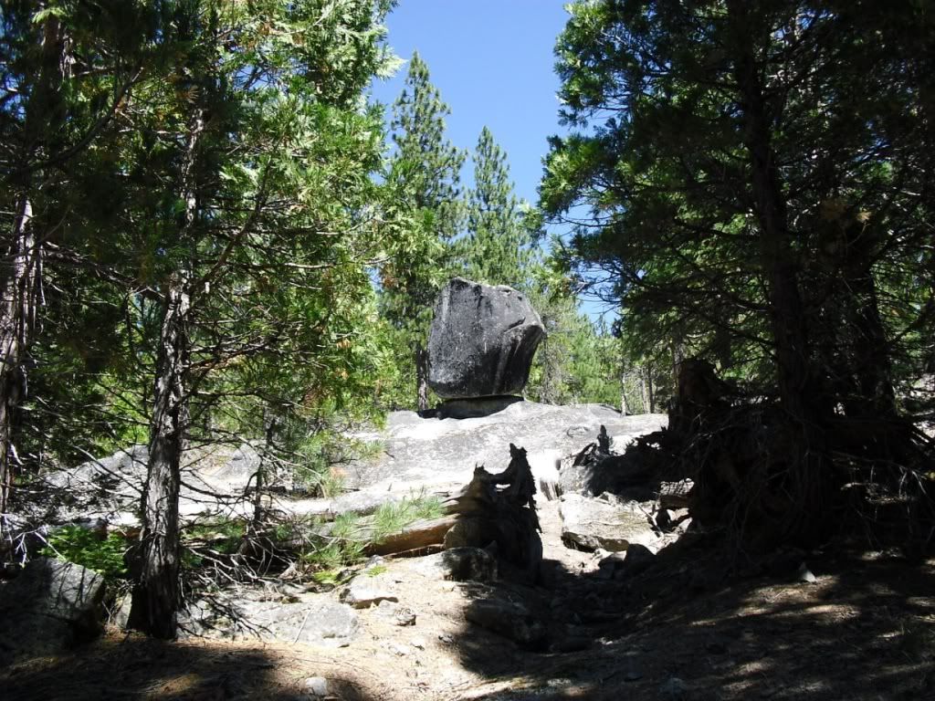
Another interesting rock formation
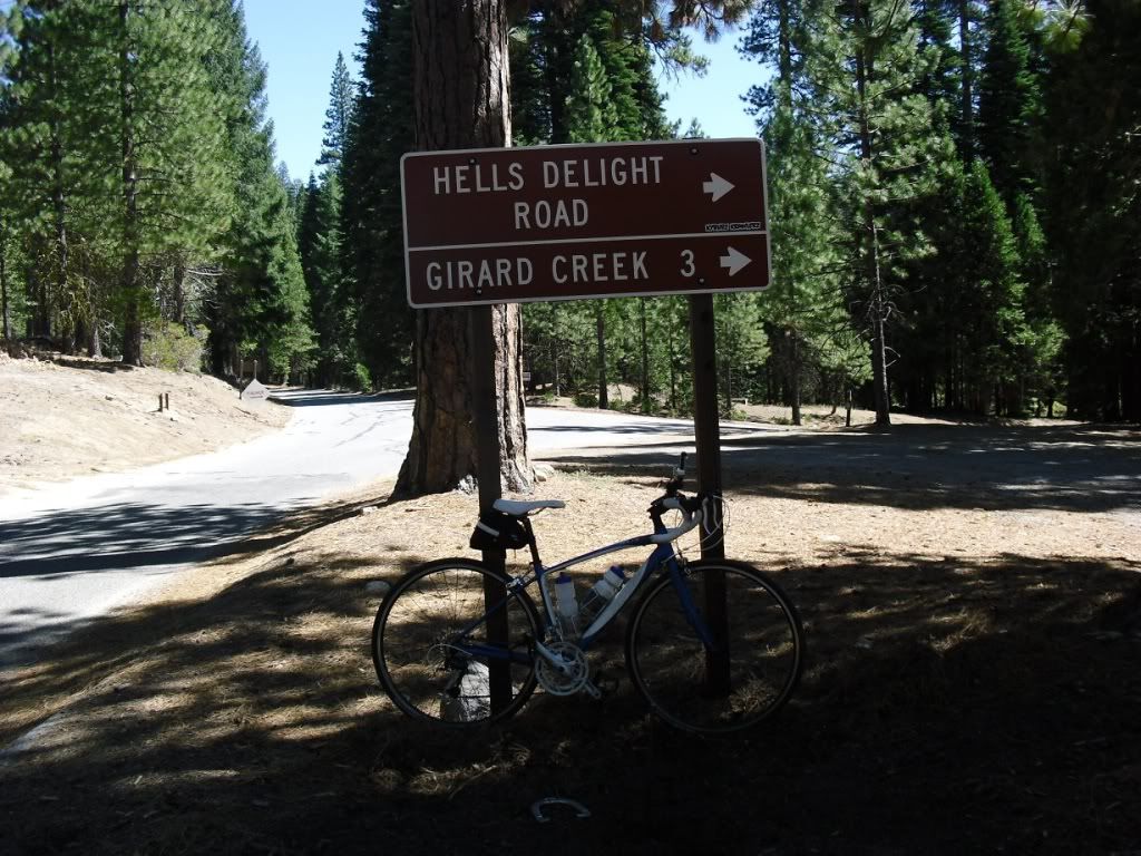
This is the second road sign I've seen in the hills with "hell" in the name. Is that supposed to refer to the steepness of the road?
Top of climb
View from top

View from midway point of descent
-
09-05-2011, 06:47 AM #2
"Ride lots!"
- Join Date
- Oct 2002
- Location
- San Francisco Bay Area
- Posts
- 9,324
-
09-05-2011, 06:59 AM #3
Registered User
- Join Date
- Feb 2011
- Posts
- 328
Mormon Emigrant Trail was the first climb I considered doing, but decided against it for two reasons. One, I would have to ride my 32 lb mountain bike to carry the 4 large bottles of water I would need on that climb. Also, I watched someone else's descent video from that climb and noticed that it was all exposed with no shade. Our valley temps were in the upper 90s, so heat was a concern.
It might be a good idea for me to lose another 10 pounds before tacking a 25 mile climb. Yesterday's ride was probably the longest climb I've ever done, except that it wasn't a steady grade. It had flatter sections and even a few short descents.
